
MAXWELL, written by planet Earth
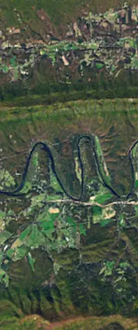
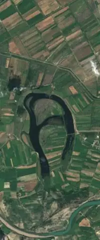
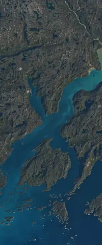
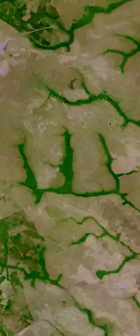
Nothing here is drawn. MAXWELL is made of 7 real places, from Shenandoah River, Virginia to Lake Guakhmaz, Azerbaijan, each photographed by the NASA/USGS Landsat program.
Get the app to export every image.
The places that spell MAXWELL
- Letter M
- Shenandoah River, Virginia38°46'32" N, 78°24'07" WSource: NASA/USGS Landsat See it on NASA
- Letter A
- Lake Guakhmaz, Azerbaijan40°39'51" N, 47°06'36" ESource: NASA/USGS Landsat
- Letter X
- Davis Straight, Greenland62°14'15" N, 49°34'50" WSource: NASA/USGS Landsat See it on NASA
- Letter W
- La Primavera, Colombia5°26'58" N, 69°47'57" WSource: NASA/USGS Landsat
- Letter E
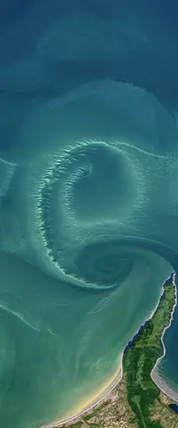
- Sea of Okhotsk54°42'50" N, 136°34'20" ESource: NASA/USGS Landsat See it on NASA
- Letter L
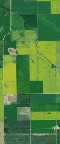
- Regina, Saskatchewan, Canada50°11'52" N, 104°17'15" WSource: NASA/USGS Landsat See it on NASA
- Letter L
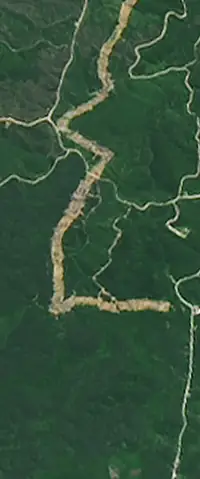
- Nusantara, Indonesia0°58'18" S, 116°41'59" ESource: NASA/USGS Landsat See it on NASA
Want the images of this name?
Get the app to see any word you like spelled with satellite photographs of the Earth.
Export every image in the layout you prefer.